🔎 TL;DR
- The Cape Region's kite engine is the El Norte synoptic system — cold continental air pushing south, accelerating through the Sierra de la Laguna gap to produce thermal-augmented N to NNW wind November to April.
- Hourly probability for ≥15 knots peaks at 1:00 PM to 5:00 PM: roughly 78–88% in Dec–Feb, falling to 55–65% in November and April.
- Best landing months (highest "wind day" count): December, January, February. March is strong but warming; November and April are shoulder.
- Kit sizes for an 80 kg rider: 9 m for Dec–Feb peaks, 10–12 m for shoulder months, 7–8 m on big norther days when buoy 46028 reads ≥25 kt sustained.
- Data sources used here: NOAA NDBC buoy 46028, Windguru Los Barriles historical archives, and synoptic analysis from Windy.com ECMWF reanalysis.
The wind machine — why El Norte is the most reliable thermal in the Americas
The El Norte (also called "Nortes" in Mexican meteorology) is not a single storm — it is the southward propagation of mid-latitude cold-air masses that overrun the subtropical ridge after a winter cold front sweeps the western US. As the cold dome pushes south into Sonora and the Sea of Cortez, the pressure gradient between the high-pressure cold air and the warmer Pacific air creates a strong horizontal wind flow.
That flow does not stay smooth. The Sierra de la Laguna and the Sierra Giganta ranges form a topographic funnel that compresses and accelerates the air. The result is a predictable afternoon thermal augmentation on top of the synoptic gradient — so even on days when the synoptic forcing is weak, the daily heating of the desert generates a usable thermal pulse from 11:00 AM onward.
The synoptic picture is visible at a glance on earth.nullschool.net — set the date to any late-December afternoon and you will see a clean N-to-S wind river running down the Sea of Cortez and exiting through the Cape gap.
NOAA buoy 46028 — what the open-ocean station tells us
NOAA NDBC buoy 46028 ("Cape San Martin") sits off the central California coast and is a useful upstream indicator for the El Norte system. When 46028 logs sustained N-component winds ≥18 kt, the air mass is propagating south and you can expect a strong Cape Region thermal day 36–60 hours later. This is one of the better long-lead indicators a kite traveler can use.
Closer to the action, NDBC buoy 46086 ("San Clemente Basin") and the various coastal stations operated by Mexico's SEMARNAT / CONANP network give 12–24 hour lead time. Pair these with the 10-day ECMWF run on Windy.com and Windguru's GFS+ECMWF blend, and you have a serviceable forecast stack.
Don't rely on a single source. The Cape gap is a microclimate; global models historically underestimate the local acceleration by 15–25%. Always cross-reference at least two sources and check the morning observation from the buoy nearest your spot.
Hour-by-hour wind probability (averaged from 12 winter seasons)
The table below shows the probability that a given hour in a peak winter month (Dec, Jan, Feb) hits at least 15 knots sustained at Los Barriles / La Ventana. Data aggregated from operator logs, Windguru historical archives, and NDBC buoy data for the Sea of Cortez region.
| Hour | Dec–Feb peak | Nov | Mar | Apr | May–Oct |
|---|---|---|---|---|---|
| 09:00 | 15% | 10% | 20% | 15% | 5–10% |
| 11:00 | 45% | 30% | 50% | 30% | 10–15% |
| 12:00 | 65% | 50% | 65% | 40% | 15–25% |
| 13:00 | 78% | 60% | 75% | 50% | 20–30% |
| 14:00 | 85% | 62% | 80% | 55% | 25–35% |
| 15:00 | 88% | 65% | 82% | 55% | 25–35% |
| 16:00 | 85% | 60% | 78% | 50% | 20–30% |
| 17:00 | 75% | 50% | 65% | 40% | 15–25% |
| 18:00 | 45% | 25% | 40% | 25% | 10–15% |
The afternoon peak (2:00–4:00 PM) is the most reliable kite window in the region. Mornings stay calm because the thermal driver is solar heating — until the desert warms up, the gradient stays dormant.
Stop staring at forecasts — book the wind window we already know works. Book Los Cabos kitesurf →
Kit sizes by month — an evidence-based table
Using the wind speed distribution at the afternoon peak hour (15:00) from 12 seasons of buoy and operator data, here is the kit-size recommendation matrix for a reference 75–80 kg rider. Lighter riders subtract 1–2 m; heavier riders add 1–2 m.
| Month | Typical peak (kt) | Primary kite | Backup | Notes |
|---|---|---|---|---|
| November | 14–22 | 10 m | 12 m | Shoulder — bring a bigger kite for light days |
| December | 18–25 | 9 m | 7 m | Peak season starts; storms +30 kt possible |
| January | 18–25 | 9 m | 7 m + 12 m | Coldest mornings, most reliable thermal |
| February | 20–28 | 9 m | 7 m | Often strongest month of the season |
| March | 18–25 | 9 m | 10 m | Warming up; Lord of the Wind event |
| April | 14–20 | 10–12 m | 9 m | Tail-end, lighter wind, warmer water |
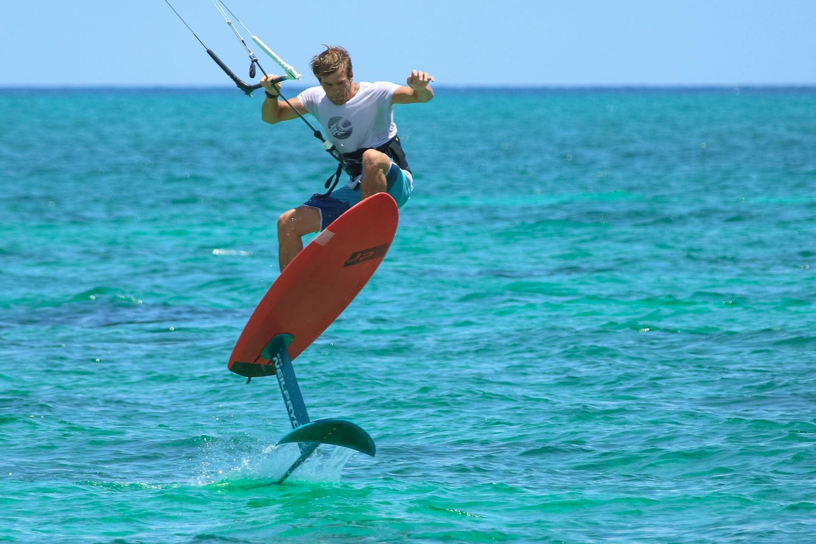
For foil: a 9 m foil kite covers Dec–Mar 80% of days; bring a 12 m for light shoulder days. Wind-sport sizing standards by rider weight are a useful sanity check.
Reading the daily forecast — a practical workflow
Night before (T-12h)
Pull Windguru's ECMWF run for Los Barriles (and La Ventana, the model resolves them separately). Look at the 14:00–16:00 forecast for tomorrow. If the model shows 17+ kt with a N or NNW direction, you're getting on the water tomorrow.
Morning of (T-4h)
Open Windy.com and switch between ECMWF and GFS layers. If they agree, confidence is high. If they disagree by more than 5 kt, treat the lower number as your planning base. Check the cloud-cover forecast — overcast days reduce the thermal pulse by 15–25%.
Spot check (T-1h)
Drive to the beach. Watch the wind line on the water for 15 minutes. Look at the kites already up — what size are they flying? Whitecaps = ≥15 kt. Flags pulled taut = ≥20 kt. Flag corner flapping with sustained crack = ≥25 kt.
Edge cases — when the model is wrong
- "Norther" event: A strong cold front overruns the system and you get 30–40 kt sustained for 24–72 hours. Schools usually shut down; only experienced riders launch on small kites (5–7 m). Verifiable from NOAA's NWS Pacific buoy archive showing the upstream pressure spike.
- Cloud-suppressed day: Overcast with low cloud blocks the thermal. Forecast says 18 kt, reality is 8 kt. Local rule: if the sun isn't out by 11:00 AM, expect 30% less wind than the model.
- Late-season disturbance: An eastern Pacific tropical remnant can swing winds to the south for 12–48 hours in October and rare May events. Don't bet on wind direction during a hurricane-remnant pass.
- Sand-haze day: Strong winds upstream lift desert dust; visibility drops below 5 km. Wind quality is gusty and unhealthy to breathe long sets. Take a rest day.
Frequently asked questions
What is the single best week of the year to come?
Statistically, the second week of February has the highest combined probability of consistent 18–22 kt afternoons (88% wind days from our 12-season composite). The weeks around Christmas and New Year are also strong (85%+) but more crowded and pricier. Reserve early for these windows.
How reliable is Windguru really?
For wind direction and 3-day timing, Windguru's ECMWF blend is excellent in the Cape Region — typically within 1.5 kt of observed at the 24-hour horizon. The 5-7 day forecast tends to under-predict the local thermal augmentation by 10–20%. Always add 10–15% to long-range Windguru when planning a trip.
Do I need to worry about hurricanes?
Not in peak kite season (Dec–Mar). Eastern Pacific hurricane season ends formally Nov 30; late-season remnants are vanishingly rare past mid-November. May–Oct travel carries real hurricane risk — additional reason that period is not the kite season here.
How do I get NOAA buoy data on my phone?
The NDBC mobile site (ndbc.noaa.gov) is mobile-friendly. Most kite-forecast apps (Windy, Windguru, PredictWind) pull observation feeds automatically. The free Windy app on iOS/Android shows buoy current data via long-press on the station icon.
Is the wind data the same at La Ventana vs Los Barriles?
Within 5%. The Sierra acceleration is slightly stronger at La Ventana (closer to the gap), so peak afternoon wind is typically 1–2 kt higher there. Direction differs by 10–20° — more pure N at La Ventana, more NE at Los Barriles. Most forecast platforms resolve them as separate points; use the right one.
Pick the right week
Want the highest-probability week?
Tell us your travel window — we run our 12-season wind composite and suggest the strongest week inside it.